

The Site Visit Just Got More Valuable
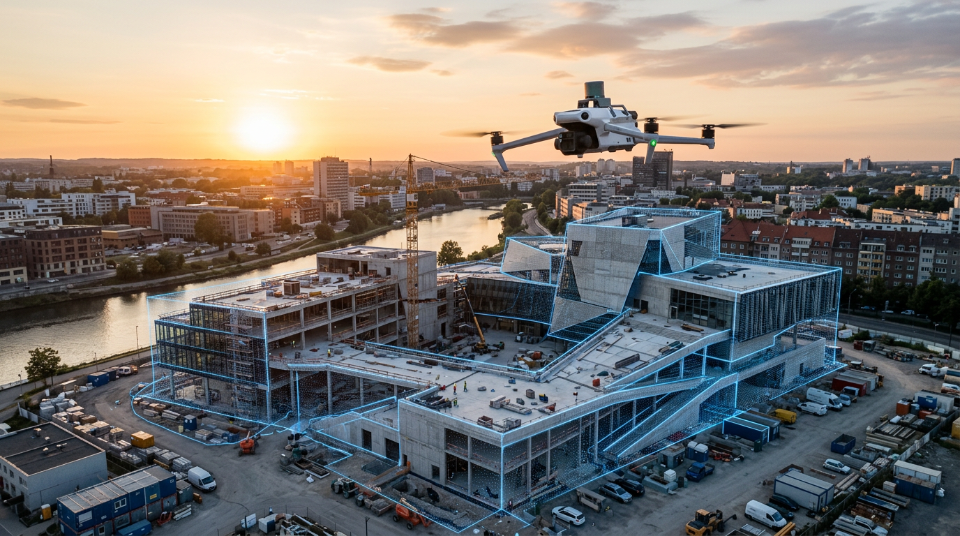
For years, capturing a site for marketing photography and capturing it for CGI reference (matte backgrounds, camera matching, context modelling) have been two separate jobs. Different kit, different specialists, sometimes different days entirely. That's changing. 2026 coverage of drone and LiDAR workflows confirms the two methods have converged into a single field visit: drone photogrammetry handles exterior geometry, indoor LiDAR scanning covers interior space, and AI-assisted feature-matching now cuts reconstruction time by 30-60 percent (Geo Week News, 2026). One visit, one dataset, two deliverables.
Why This Wasn't Practical Before
The old split existed for a reason. Drone photogrammetry needed a still-photo grid flown in specific lighting conditions to reconstruct clean geometry, and that data was rarely detailed or correctly registered enough for a CGI team to use as camera-matched reference. Indoor spaces needed a separate LiDAR pass because drones can't safely operate inside a building. Add smartphone LiDAR, standard on iPhone 12 Pro and later, into the mix for close-range interior detail, and you had three capture methods technically covering the same building that rarely got commissioned, or processed, together.
What's Actually Changed
Two things. First, videogrammetry, extracting 3D geometry from continuous drone video instead of a planned still-photo grid, has become the default for time-sensitive jobs, meaning the capture flight itself is faster and less fussy about conditions. Second, AI feature-matching has closed the processing gap: data that used to need heavy manual cleanup to be usable as CGI reference now reconstructs fast enough that treating it as dual-purpose is realistic, not aspirational.
Where This Actually Saves You Money
If you're commissioning a photography visit and a separate CGI reference capture for the same development, ask whether that's still necessary. A single drone-plus-LiDAR visit can now produce the raw material for marketing stills and walkthrough footage, and a geometrically accurate reference set a CGI team can use for camera matching, massing verification, and context modelling around a scheme that isn't finished yet. That's not a marginal saving, it's one specialist visit and one processing pipeline instead of two, on every site that needs both outputs.
This matters most on phased developments, where the site changes between each release and you'd otherwise be commissioning fresh photography and fresh CGI reference at every stage. It also matters for product launches shot on location rather than in studio, where AR placement demos need the same physical context data as the marketing photography.
The one caveat: this only pays off if whoever's capturing the site is actually set up to deliver both outputs from one dataset. Ask your visualization partner directly whether their site-capture workflow is unified, or whether you're still quietly paying for two visits under one invoice.
Frequently Asked Questions
Does combining photography and CGI capture into one visit reduce quality?
No. Reconstruction quality has improved, not dropped. AI feature-matching now processes combined drone-and-LiDAR datasets faster and more accurately than older single-purpose workflows managed it.
Do I need to buy new equipment to get this benefit?
No. This is a workflow change on your visualization partner's side, not an investment on yours. Ask whether their site-capture process already produces both outputs from one visit.
Is this only worth it for large developments?
No. The efficiency gain applies to any site needing both marketing photography and CGI reference, including single-building or product-launch projects.
What's the actual difference between drone photogrammetry and LiDAR?
Photogrammetry reconstructs 3D geometry from overlapping photos. LiDAR uses laser scanning to measure distances directly. Combining both, drone photogrammetry outside and LiDAR indoors, covers a site's full geometry in one visit.
